Mount Hanang
Tanzania · Central Highlands Tanzania
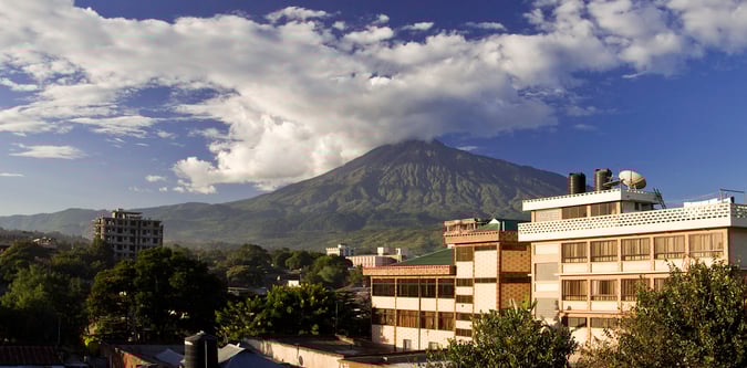
Mount Hanang is Tanzania's best inland acclimatisation summit and a strong short trekking peak in the central highlands.
Track this summit
Add it to your wish list or tick it off once you have climbed it to update your peak-bagging dashboard.
What to expect on this mountain
Mount Hanang is Tanzania's best inland acclimatisation summit and a strong short trekking peak in the central highlands.
Steep upper slopes, livestock trails, and rapid weather shifts create the main operational risks on Hanang.
Airports
Photos from Mount Hanang
Routes for Mount Hanang and nearby objectives
Mount Hanang Route
The standard overnight summit route on Mount Hanang from the Katesh side.