Mount Kilimanjaro
Tanzania · Kilimanjaro
Track this summit
Add it to your wish list or tick it off once you have climbed it to update your peak-bagging dashboard.
Airports
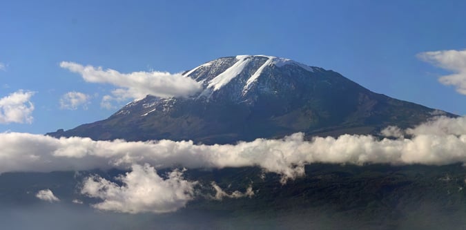
Photos from Mount Kilimanjaro
Nearby itineraries and route styles
These itineraries are relevant to the area and base logistics. Some do not include a summit of Mount Kilimanjaro.
Routes for Mount Kilimanjaro and nearby objectives
Marangu Route
The classic hut-based Kilimanjaro route from Marangu Gate.
Shira Route
A high western Kilimanjaro route variation that starts on the Shira plateau and suits stronger acclimatised trekkers.
Rongai Route
The drier northern Kilimanjaro approach from the Kenyan side of the massif.
Umbwe Route
A steep direct Kilimanjaro route that joins the southern summit line after a harder opening approach.
Lemosho Route
A longer western Kilimanjaro route designed for acclimatisation and a more complete mountain experience.
Northern Circuit Route
The longest standard Kilimanjaro itinerary, circling the mountain for the strongest acclimatisation profile.
Machame Route
The most commercially established scenic route on Kilimanjaro.