Ol Doinyo Lengai
Tanzania · Lake Natron
Track this summit
Add it to your wish list or tick it off once you have climbed it to update your peak-bagging dashboard.
Airports
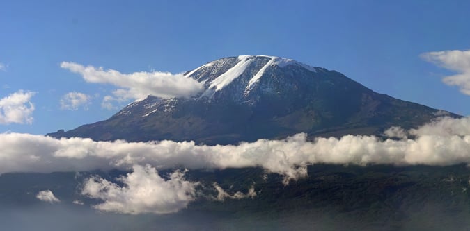
Photos from Ol Doinyo Lengai
Guided summit options for Ol Doinyo Lengai
These guided itineraries explicitly include a summit of Ol Doinyo Lengai.
Tanzania Northern Peaks Triple Guided
Tanzania Northern Peaks Triple Guided is the 11-day option for Tanzania Northern Peaks Triple. It is graded difficult and reaches about 5,895 metres. The itinerary follows a guided format with day-to-day timing adjusted to conditions, travel logistics, and acclimatisation needs.
Support style: Guide-led Three Peaks itinerary with coordinated transfers
Nearby itineraries and route styles
These itineraries are relevant to the area and base logistics. Some do not include a summit of Ol Doinyo Lengai.
Routes for Ol Doinyo Lengai and nearby objectives
Ol Doinyo Lengai Route
A steep volcanic ascent route on Ol Doinyo Lengai from Lake Natron.
Tanzania Northern Peaks Triple Route
A combined northern Tanzania mountain route linking Kilimanjaro, Meru, and Lengai.