Rwenzori High Peaks Traverse
A full Rwenzori circuit linking the main Uganda-side access route with extensions toward the range's major high summits.
Download GPX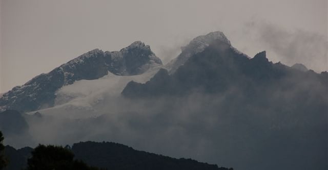
Uganda · Rwenzori
Mount Stanley requires weather-aware mountain planning, with route hazards varying by season and local terrain.
Add it to your wish list or tick it off once you have climbed it to update your peak-bagging dashboard.
Mapped approach and summit route lines from linked itineraries.
Mount Stanley requires weather-aware mountain planning, with route hazards varying by season and local terrain.
A full Rwenzori circuit linking the main Uganda-side access route with extensions toward the range's major high summits.
Download GPXThe summit-focused Rwenzori progression from the Nyakalengija approach through the upper basin to Margherita Peak and back out.
Download GPX