Kanchenjunga
Nepal · Nepal Himalaya
Track this summit
Add it to your wish list or tick it off once you have climbed it to update your peak-bagging dashboard.
Airports
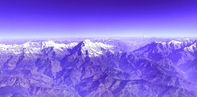
Photos from Kanchenjunga
Nearby itineraries and route styles
These itineraries are relevant to the area and base logistics. Some do not include a summit of Kanchenjunga.
Routes for Kanchenjunga and nearby objectives
North and South Base Camps Kanchenjunga Trek Route
The trek begins at Taplejung which is a 45 minute flight from Kathmandu to Bhadrapur, followed by a jeep to Birtamod and then to Taplejung. The broad itinerary for the whole trek is below, and we visit the north base camp first. This walk around Mount Kanchenjunga visits both the North and South Base Camps. The route begins by approaching the North side of Kanchenjunga where you will have great views of Tent Peak, Nepal Peak, Cross Peak before the bulk of Kanchenjunga itself becomes visible. From Pangpema on the north side the trek returns to Ghunsa and then crosses Mirgin La pass over to the south side of Kanchenjunga. Once over this pass, you follow the route through Ramche and Oktang where there are impressive views of the South West face of Kanchenjunga. Kanchenjunga Conservation Area is in the far east of Nepal near the border with Sikkim. A flight from Kathmandu to Biratnagar is about 45 minutes.