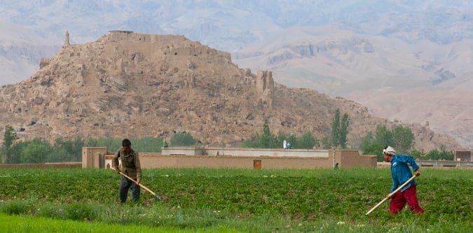
Bamyan Highlands Trek
A central Afghanistan mountain trek based around Bamyan and the Koh-e Baba fringe.
- Difficulty
- Moderate
- Duration
- 4 days
- Region
- Bamyan Highlands
Central Afghanistan mountain and lake country around Bamyan, Band-e Amir, and Shah Foladi.
A central Afghanistan mountain trek based around Bamyan and the Koh-e Baba fringe.
A scenic mountain trek around Afghanistan's famous high lakes.
The main trekking summit on the Bamyan high plateau.
Use these route-linked adventures to plan the trails and traverses that sit inside this region.
The standard Bamyan highlands summit route for Shah Foladi from the plateau south of Bamyan.
A circuit in central Afghanistan linking Bamyan town, Band-e Amir, and the surrounding high plateau.
Supporting planning details for where trips start, finish, or stay overnight in this region.
Main logistics town for the Bamyan highlands, Shah Foladi, and Band-e Amir trekking itineraries.
High lake district in central Afghanistan used for trekking, acclimatisation, and scenic mountain travel around Bamyan.