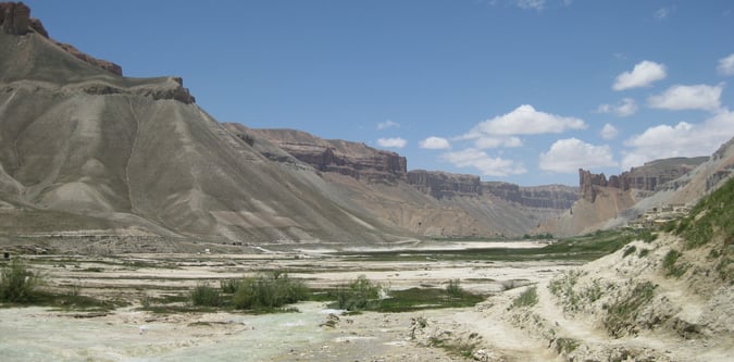
Big Pamir Trek
A longer Afghanistan trek into the big landscapes of the Pamir edge.
- Difficulty
- Difficult
- Duration
- 8 days
- Region
- Wakhan Corridor
Far northeastern Afghanistan corridor used for Noshaq, Wakhan, and Pamir trekking objectives.
A longer Afghanistan trek into the big landscapes of the Pamir edge.
A shorter but still serious Afghanistan Pamir trek.
A remote Afghanistan trek to the base of the country's highest peak.
Afghanistan's defining high-altitude summit expedition.
A classic remote-valley trek through the Afghan Wakhan.
Use these route-linked adventures to plan the trails and traverses that sit inside this region.
A typical expedition approach and summit route for Noshaq on the Afghanistan side, accessed from the upper Wakhan.
A long trekking route through the Afghan Wakhan that emphasizes travel through wide valleys, provides access toward the Pamir, and involves sustained remote mountain travel rather than a single summit-focused day.
Supporting planning details for where trips start, finish, or stay overnight in this region.
Remote Wakhan approach settlement used for Noshaq and high Wakhan trekking departures.