Bahrain Desert and Coast Circuit
A mixed desert and coast walking circuit across Bahrain.
- Difficulty
- Easy
- Duration
- 3 days
- Region
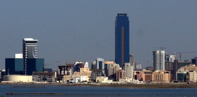
- Southern Bahrain Coast
Coastal walking, island viewpoints, and desert-edge active travel in southern Bahrain.
A mixed desert and coast walking circuit across Bahrain.
A quieter island-focused walking day in southern Bahrain.
Use these route-linked adventures to plan the trails and traverses that sit inside this region.
A remote island walking route to Bahrain's best southern coastal viewpoint.
Supporting planning details for where trips start, finish, or stay overnight in this region.
Remote southern Bahrain base for island walking and wildlife-led active travel.
Useful coast base for combined beach, desert, and escarpment walking breaks.