Belize Highlands Traverse
A fuller inland Belize active route.
- Difficulty
- Moderate
- Duration
- 3 days
- Region
- Maya Mountains
Interior mountain system covering Belize's highest peaks, forest trekking, and Mountain Pine Ridge adventure routes.
A fuller inland Belize active route.
A trekking-first route to the high point of Belize.
Belize's definitive highpoint expedition.
A lighter but still useful active day in Belize's interior highlands.
An inland Belize trail programme based from San Ignacio.
Use these route-linked adventures to plan the trails and traverses that sit inside this region.
A circuit through Belize's interior connecting highland areas, protected areas, and multiple adventure bases.
Expedition route through the Maya Mountains to Doyle's Delight, Belize's high point.
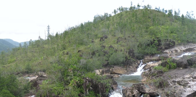
A walking route through Belize's Mountain Pine Ridge that connects waterfalls, pine forest, and highland viewpoints.
Supporting planning details for where trips start, finish, or stay overnight in this region.
Primary arrival city for Belize mountain and inland adventure travel.
Interior reserve access point for Belize ridge walks, waterfalls, and mountain trekking.
Main inland base for Mountain Pine Ridge and western Belize adventure logistics.