Belize Jungle Summit Week
A full inland Belize adventure portfolio in one trip.
- Difficulty
- Difficult
- Duration
- 5 days
- Region
- Southern Belize
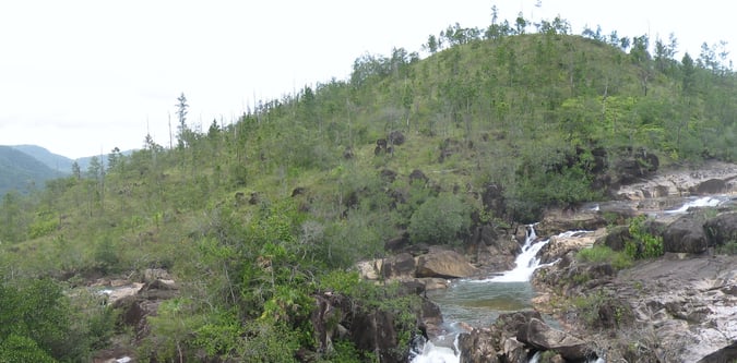
Southern trail and mountain access zone for Victoria Peak, Cockscomb, and inland jungle trekking.

A full inland Belize adventure portfolio in one trip.
A harder Belize active itinerary linking peaks and jungle trails.
A ridge-based Belize jungle trek with a stronger mountain feel.
A compact southern Belize trekking break.
Belize's classic southern summit trek.
Use these route-linked adventures to plan the trails and traverses that sit inside this region.
A circuit through Belize's interior connecting highland areas, protected areas, and multiple adventure bases.
Jungle-ridge route in southern Belize linking the Cockscomb massif with nearby trekking access points.
Main summit route to Victoria Peak in southern Belize, passing through jungle and ridge terrain.
Supporting planning details for where trips start, finish, or stay overnight in this region.