Grenada Highlands Weekend
A compact Grenada hiking weekend.
- Difficulty
- Moderate
- Duration
- 2 days
- Region
- Northern Grenada
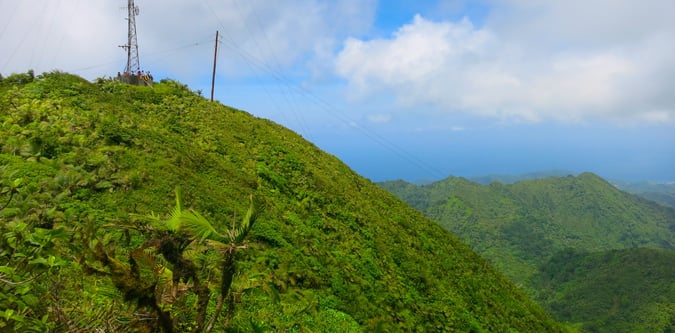
The higher northern end of Grenada around Mount Saint Catherine and the island's strongest summit terrain.

A compact Grenada hiking weekend.
A more complete Grenada active break.
Grenada's defining summit day.
A more demanding Grenada hill programme.
Use these route-linked adventures to plan the trails and traverses that sit inside this region.
A wider day loop that mixes lowland transfers with the hill country behind Grenada's spice estates.
A stronger north-island ridge line linking Grenada's main northern bases and summit terrain.
Grenada's flagship summit route to the country high point.
Supporting planning details for where trips start, finish, or stay overnight in this region.