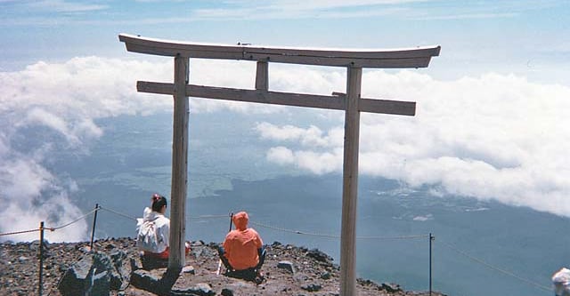
Mount Fuji and Haku Double
A stronger two-summit Japanese trekking programme.
- Difficulty
- Moderate
- Duration
- 3 days
- Region
- Hakusan Range
The highland trail system around Mount Haku and the Hakusan region.
A stronger two-summit Japanese trekking programme.
The strongest live Mount Haku day trek.
Use these route-linked adventures to plan the trails and traverses that sit inside this region.
The standard trekking route on Mount Haku from the Hakusan side.
Supporting planning details for where trips start, finish, or stay overnight in this region.
Main lowland base for Mount Haku logistics and trekking access.