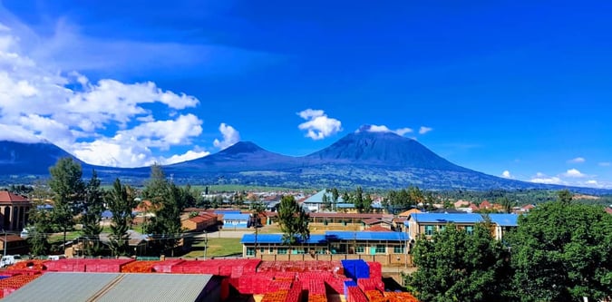
Kigali to Karisimbi Expedition
A clean Rwanda mountain line from Kigali to a high-camp ascent of Mount Karisimbi.
- Difficulty
- Difficult
- Duration
- 3 days
- Region
- Virunga Rwanda
Rwandan volcano chain used for summit trekking itineraries.
Showing the first 12 adventures from a larger regional directory.
A clean Rwanda mountain line from Kigali to a high-camp ascent of Mount Karisimbi.
A direct Rwanda volcano day built around the crater-rim summit of Mount Bisoke.
The classic two-day ascent of Rwanda's highest mountain from Kinigi to the Karisimbi summit.
A steep one-day summit push on the sharpest Rwanda volcano on the Uganda frontier.
A Rwanda-focused trip built around the sovereign highpoint ascent of Mount Karisimbi.
A two-peak Rwanda trekking line linking the country's strongest commercial volcano objectives.
A Rwanda itinerary that keeps the mountain structure strong while leaving room for broader northern highlands travel.
Bisoke, Karisimbi, and Muhabura combined into one full Rwanda volcano challenge.
A serious East Africa mountain itinerary combining Rwanda's volcanoes, Bwindi gorilla tracking, and a full Margherita...
A hard Rwanda trekking block for strong walkers chasing multiple volcano summits in one trip.
Bisoke and Karisimbi as a hard four-day volcano block, with Muhabura available as a serious optional extension.
A short Rwanda mountain weekend using Bisoke and Karisimbi as a compact volcano pairing.
Use these route-linked adventures to plan the trails and traverses that sit inside this region.
Summit-focused progression from the Nyakalengija approach through the upper basin to Margherita Peak and back out.
Full-day summit route in Volcanoes National Park to Mount Bisoke’s crater lake.
Two-day route starting from Kinigi that ascends to a high camp and continues to the summit of Mount Karisimbi, the highest point in Rwanda.
Steep, optional summit day that supplements the Rwanda volcano block; can be undertaken before or after Karisimbi.