Charlestown to Nevis Peak Trek
A fuller Nevis active day than the simple summit out-and-back.
- Difficulty
- Moderate
- Duration
- One day
- Region
- Nevis Highlands
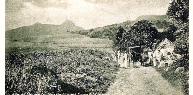
Nevis Peak and the interior hill country around Charlestown and Cades Bay.
A fuller Nevis active day than the simple summit out-and-back.
A proper short active break on Nevis.
The defining Nevis summit trek.
The complete twin-island mountain week.
The strongest overall active portfolio for the federation.
Use these route-linked adventures to plan the trails and traverses that sit inside this region.
A longer Nevis hiking line that turns the island into more than a single summit day.
A longer Saint Kitts trekking line linking the island's main volcanic highland terrain.
The main summit trekking line on Nevis from the island's western side.
The standard crater and summit route to the high point of Saint Kitts.
Supporting planning details for where trips start, finish, or stay overnight in this region.
Useful west-coast access point for longer Nevis walking and summit days.
Primary arrival and logistics town for Nevis Peak itineraries.