Basseterre to Liamuiga Challenge
A challenge-style Saint Kitts trekking day.
- Difficulty
- Challenging
- Duration
- One day
- Region
- Saint Kitts Highlands
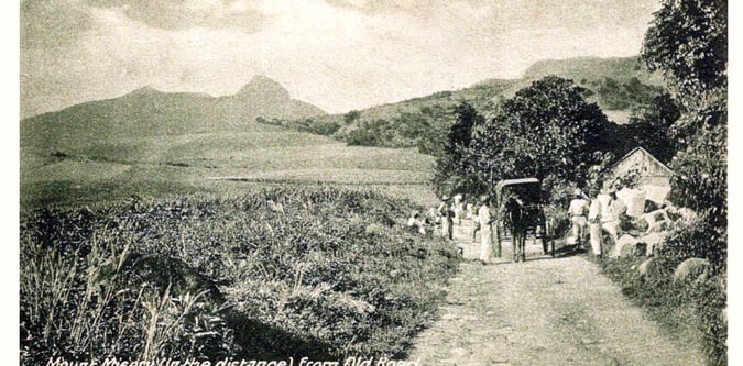
The volcanic ridge and crater country of Saint Kitts around Mount Liamuiga.

A challenge-style Saint Kitts trekking day.
The flagship Saint Kitts summit day.
A broader active Saint Kitts itinerary.
A compact Saint Kitts hiking weekend.
A supporting Saint Kitts mountain day.
Use these route-linked adventures to plan the trails and traverses that sit inside this region.
A supporting ridge line on Saint Kitts that broadens the live mountain portfolio.
A longer Saint Kitts trekking line linking the island's main volcanic highland terrain.
The standard crater and summit route to the high point of Saint Kitts.
Supporting planning details for where trips start, finish, or stay overnight in this region.
Main arrival city and logistics base for Saint Kitts and Nevis hiking trips.
Northern Saint Kitts logistics base for Mount Liamuiga summit access.
West coast access point for ridge walks and southern Saint Kitts hiking days.